Drone Systems /
Ground Control /
Support Vehicles /


The aerial survey & inspection industry is constantly changing, and we can offer you a link between the physical and digital world that lets you see and measure what’s happening on the ground remotely.
Your teams can access high resolution photorealistic 3D aerial data and use it to make informed decisions, align your teams, keep stakeholders in the loop and projects on track.
We offer in depth training to enable your on and off site teams to effectively use the systems and data we provide, in turn increasing efficiency, freeing up time, reducing risks and ultimately increasing profits for your business.
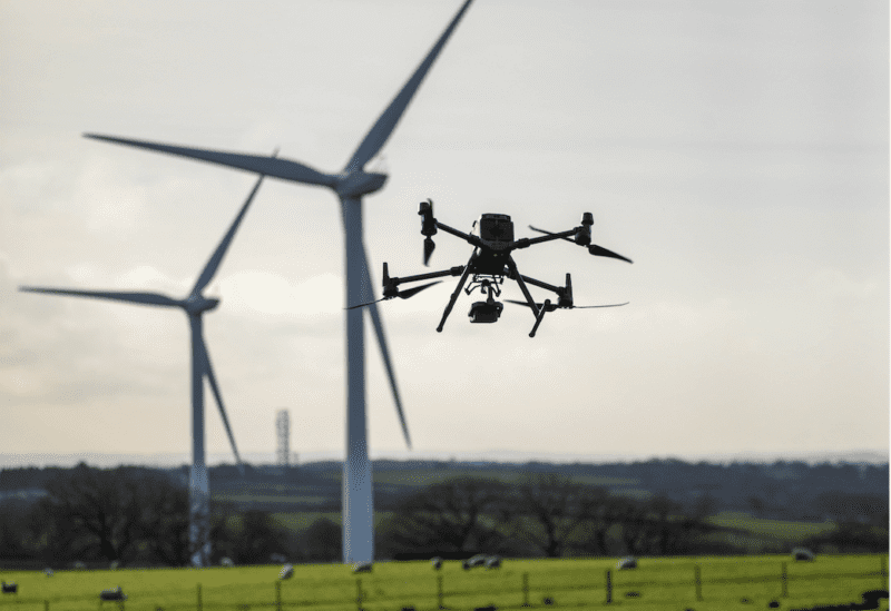
Every organisation and tasking is unique, and that’s why we pledge to harness our teams extensive knowledge to create the perfect drone survey and inspection solution for you.
We don’t ask you to pick a package, turn up, collect aerial survey data and bombard you with useless technical information – We pride ourselves on really getting to understand your needs and delivering the perfect solution with a full after care service, empowering your stakeholders to make informed data driven decisions.
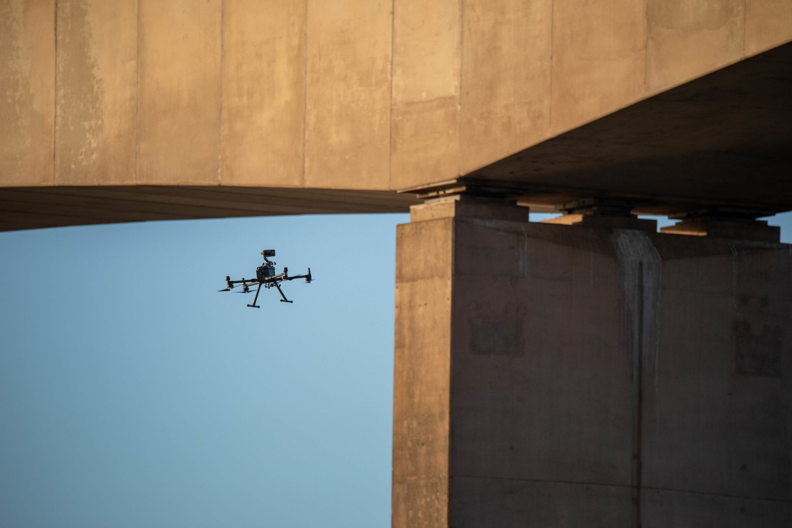
Using state of the art UAV multi-rotor drone technology, we are able to cover lots of ground fast and manoeuvre very close to buildings and large structures. We can reach awkward sites and enter risky or unstable locations to capture high resolution data without the cost and risk of conventional “boots on the ground” techniques, such as scaffolding, cherry pickers or powered access (MEWPS).
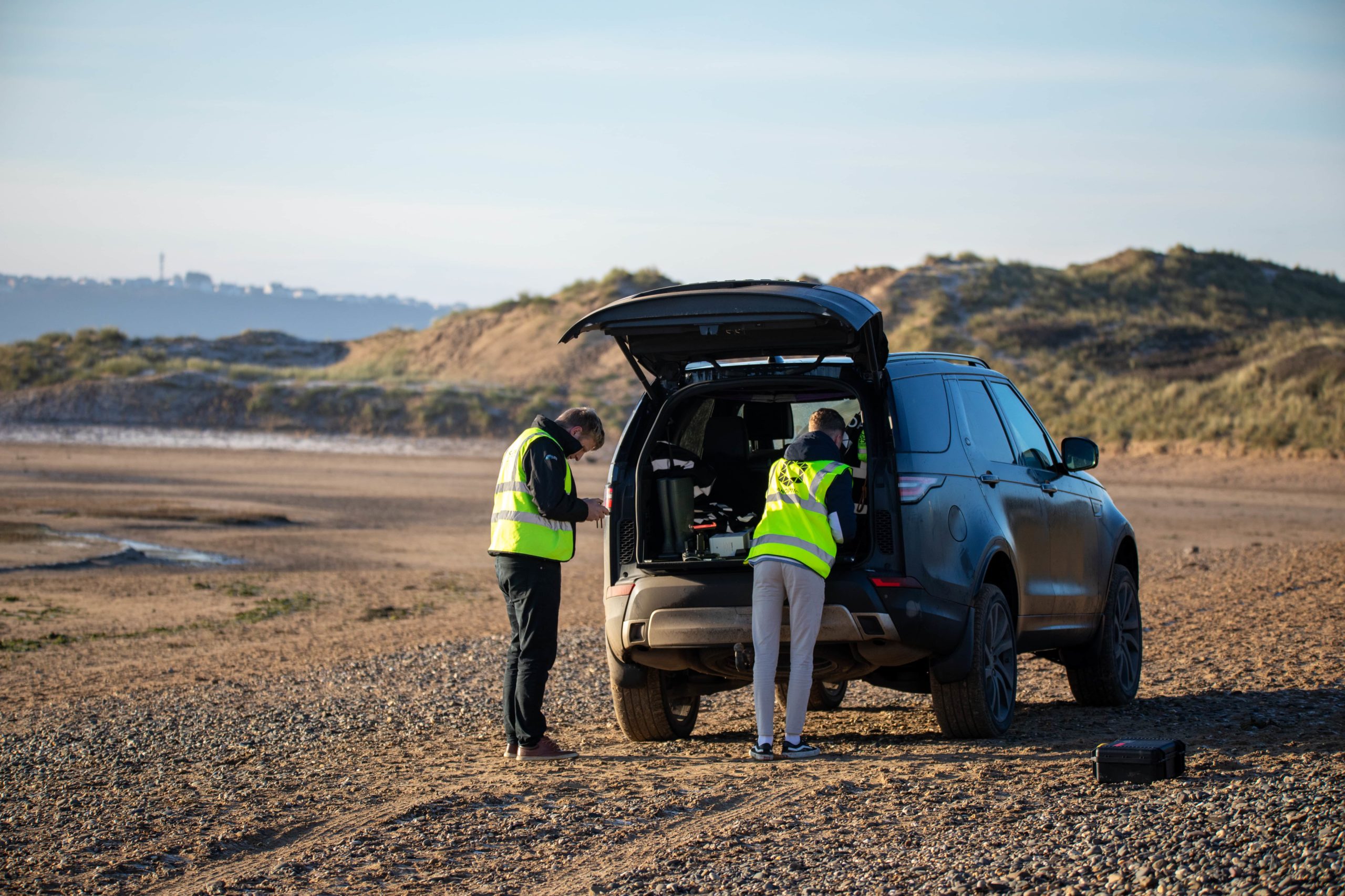
We also have high spec support equipment and vehicles at our disposal including highly capable 4×4 vehicles and a customised offshore RIB so we can operate from the water.
Skylens are licensed for flight over uninvolved persons and property, and utilise state of the art parachute recovery systems which will deploy in the unlikely event of a failure or birdstrike to the UAV Drone.
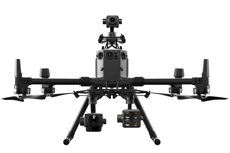


Skylens has invested heavily in industry leading equipment that ensure we deliver consistent high quality data time after time 24/7 in any conditions. Our tech has many smart capture features that allows us to maximise efficiency and deliver results every time.
Grid Photo capability allows us to stand off from a target and capture a grid of high resolution zoomed in images. Ai spot check can remember a flight we have undertaken and automate that exacter flight, camera positions and targets time after time. Simultaneous capture allows us to capture multiple shots at once such as wide, zoom and thermal maximising our time in the air and reducing overall mission time. These features combined with next generation zoom cameras and 4k resolution video capture makes using drones for survey work a very cost effective and speedy solution.
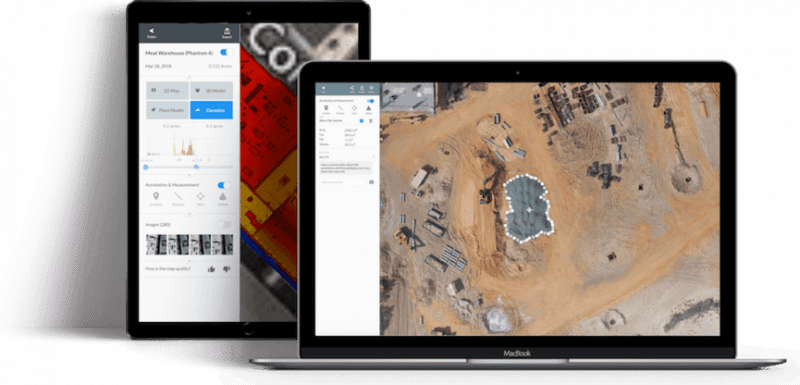
We can provide you a variety of different outputs depending on what the task is. This ranges from super high resolution stills and video content through to 3d models, Orthomosaic Maps, Digital Terrain Models (DTM), Digital Surface Models (DSM), Volumetric analysis tools, Cut and Fill data, Hazard Analysis tools and Project management timelines.
Our team can either process the data and provide you reports and integrated solutions to view the data or we are happy to provide the raw data for your in house teams to process and integrate it into existing BIM, Design and Asset Monitoring tools.
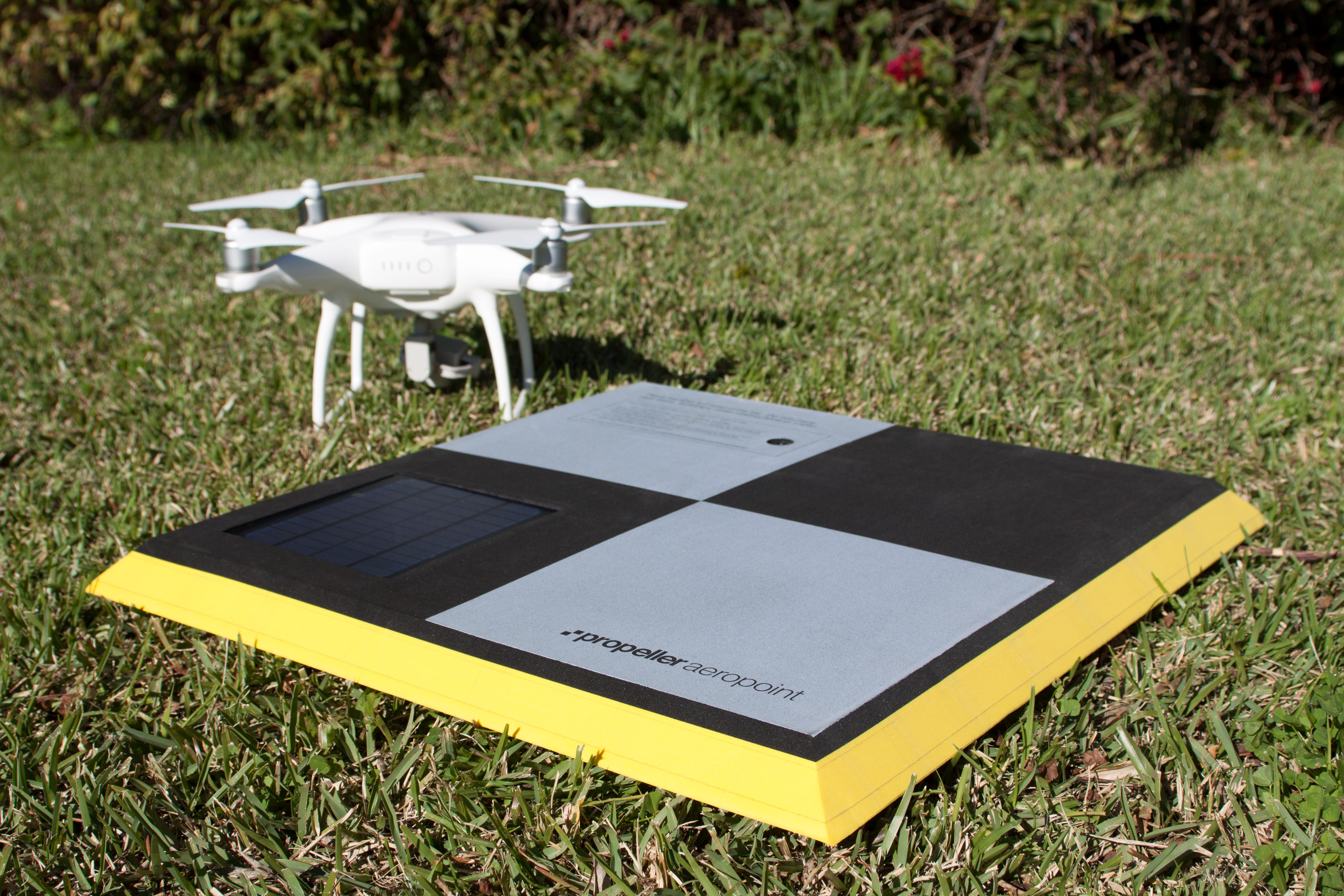
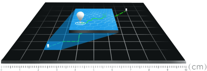
It used the be the case that the trade off for the speed and efficiency of using drones for surveys was the drop in accuracy however the technology is now such that we can compete with the more traditional methods on that front too. With he use of our RTK equipped UAV platforms & Ground Control equipment we can achieve +-3% volumetric accuracy when undertaking photogrammetry missions, creating orthomosaic maps and 3D models with sub CM relative accuracy and down to 0.8cm per pixel resolution.
The use of the L1 Lidar payload on our M300 RTK now means we can capture 3D point cloud data from the air, efficiently capturing the details of complex structures and delivering highly accurate reconstructed models of terrain, vegetation and buildings.
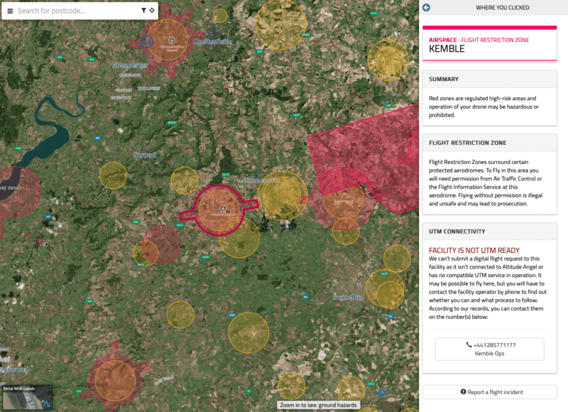
Safety and planning is paramount across our projects, each task is individually analysed, vigorously Risk Assessed (RAMS) and meticulously planned by our team of highly qualified and knowledgeable UAV Drone pilots and support team. We have built our own state of the art Ai pre flight planning system to ensure full compliance.
The Skylens fleet of high tech UAV systems boast extensive safety features such as Parachute systems, Advanced optical vision sensors, Aircraft strobes, System redundancies and ADSB aircraft positional broadcast systems allowing us to monitor airspaces for other traffic.
Our UAV Drone survey and inspection services are conducted in accordance with our permission for commercial operations (PFCO) issued by the CAA (Civil Aviation Authority). All our drone aerial surveying services are fully insured as standard for up to 10 Million Public Liabilty.
