Inspection /

Improve Safety /

The safety of your workforce is paramount. We can reduce or eliminate the risk associated with more traditional inspection methods such as rope access teams, inspection baskets, setting up pontoons and working from small boats.

Reduce Cost & Respond Faster /

Skylens UAV solutions are more cost effective than traditional methods such as rope access teams, Powered access or Scaffolding. Get results either live or delivered to you the same day to enable you to make informed data driven decisions.

Reduce Downtime /

Be it bridges being able to stay live or plant not having to shut down for as long - turn days of asset downtime into hours. Our flight paths are saved, meaning we can repetitive inspect assets multiple times and replicate data sets to observe changes over time.

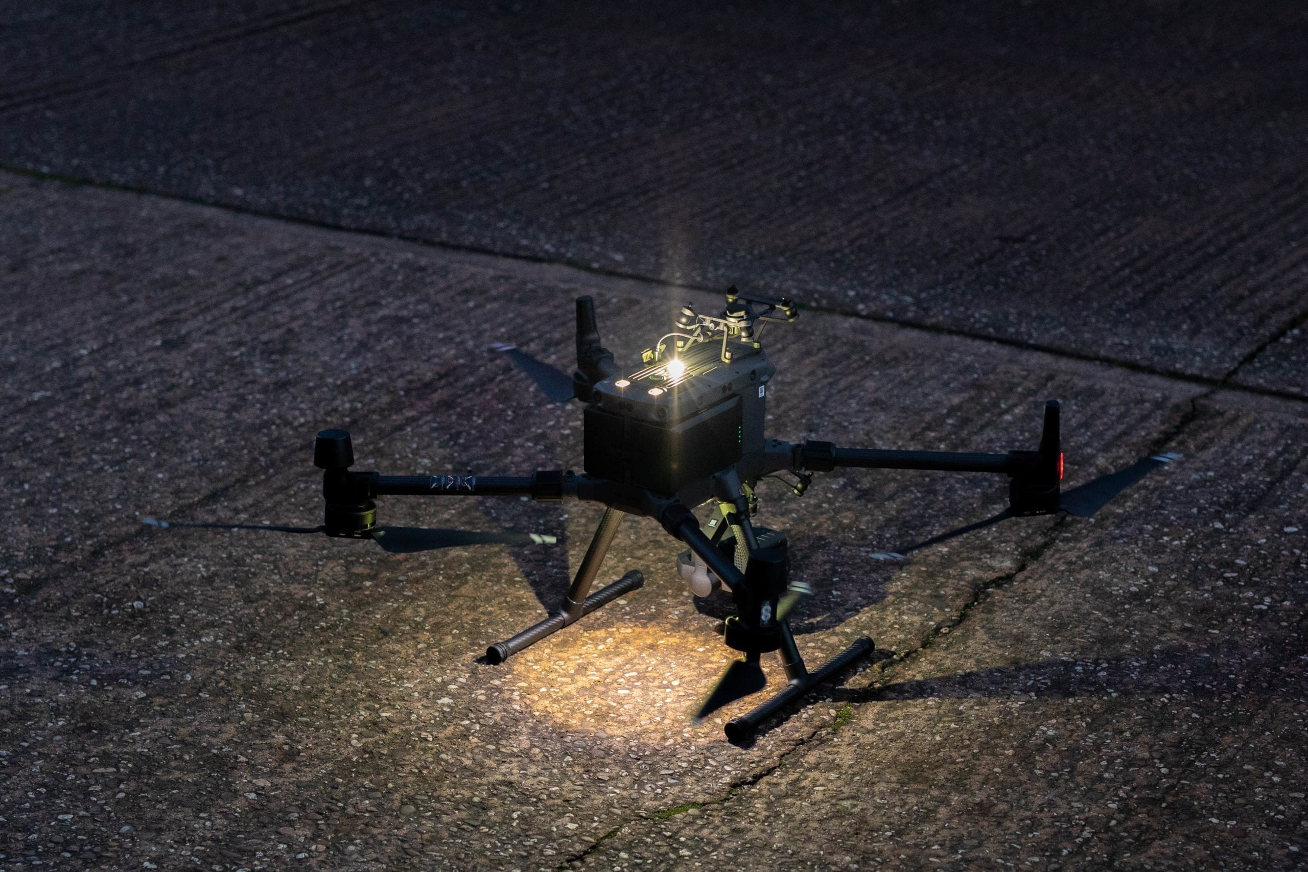
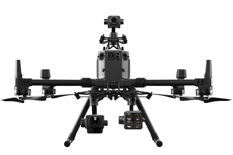
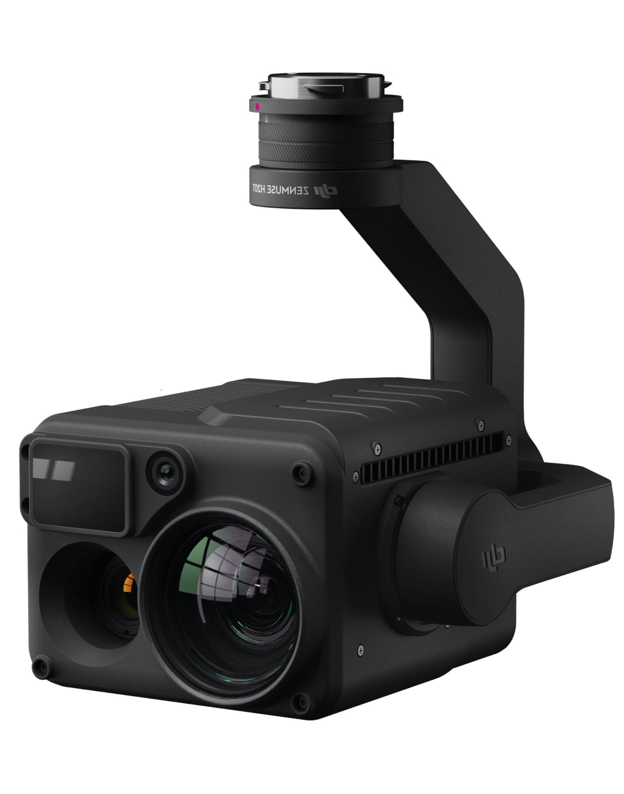
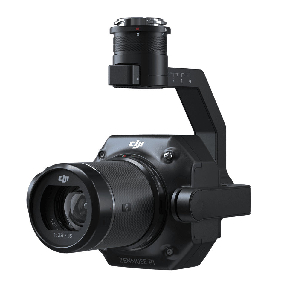
High Tech Aerial Inspection Solutions

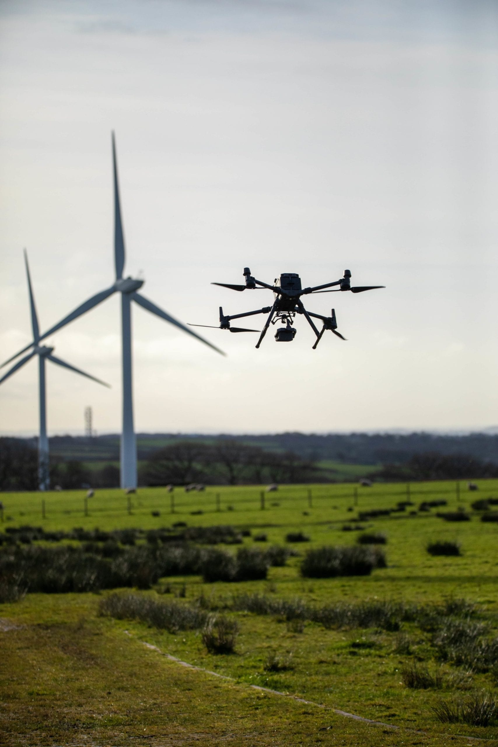
Skylens are able to utilise high tech equipment to work in many environments reducing risk, reducing downtime & saving time and money.

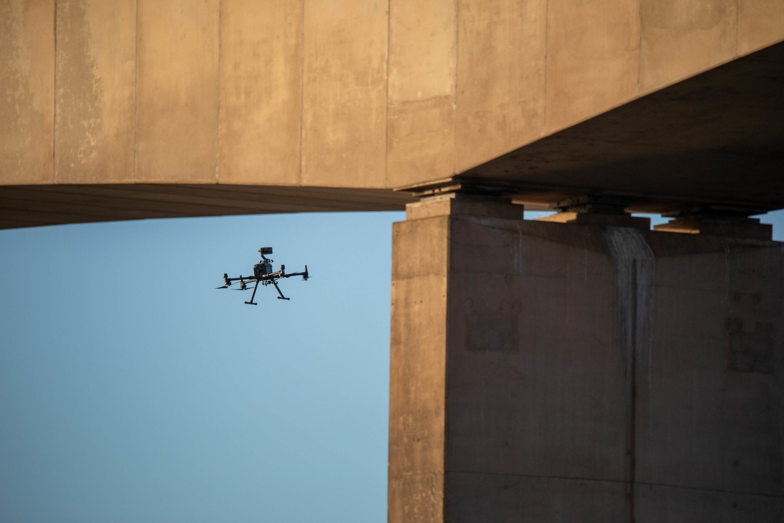
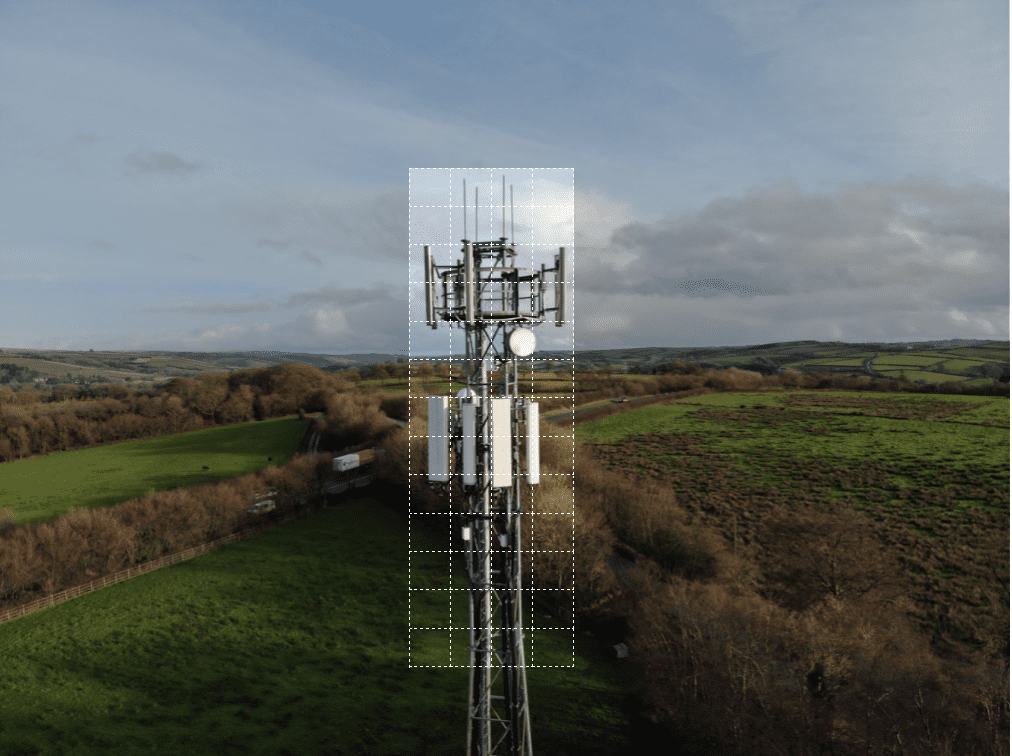
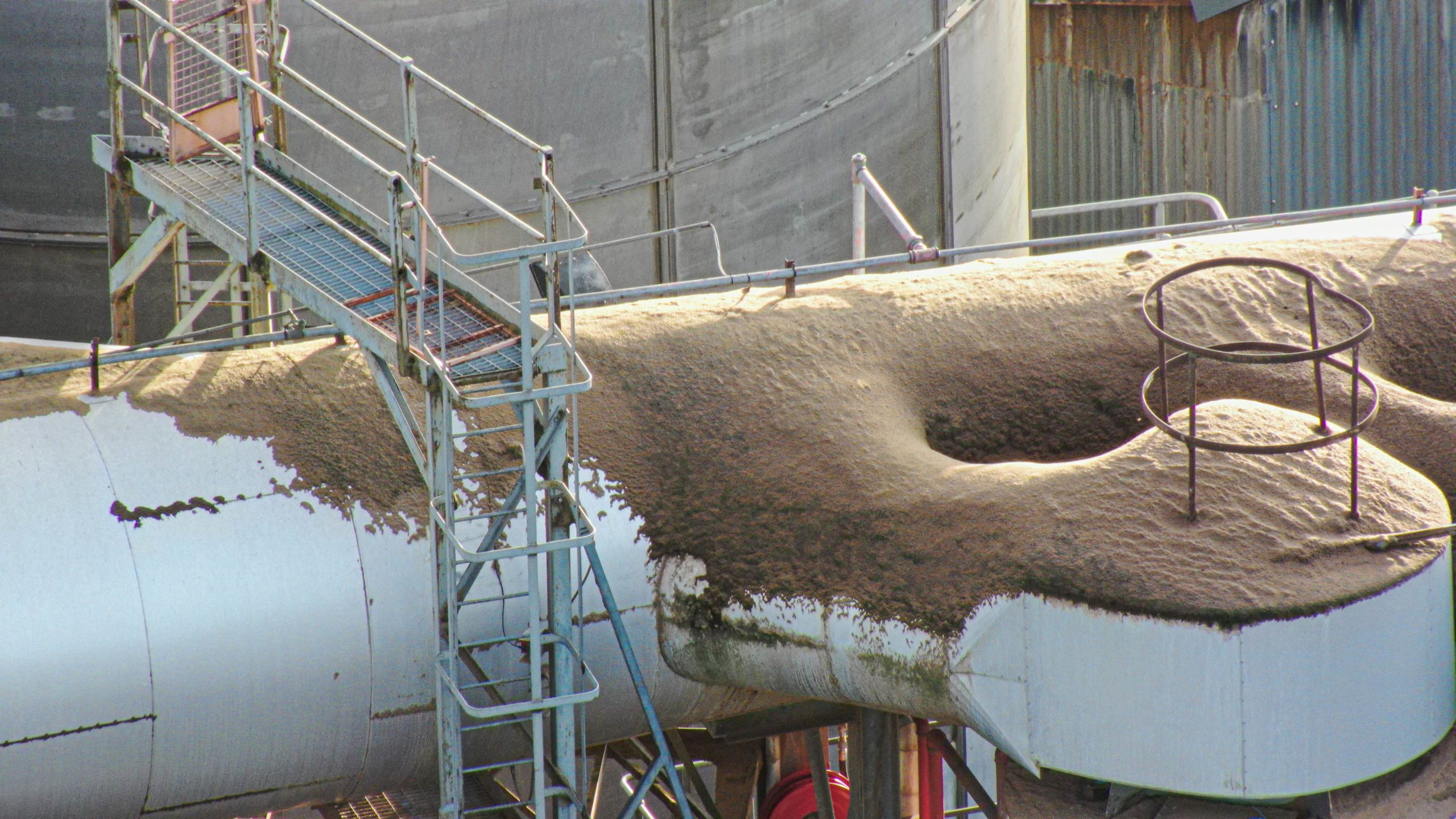
Using Skylens for inspection of buildings and operational plant brings improvements in cost, safety and access compared to conventional inspection methods. Without the need to bring in cherry pickers or set up scaffolding, there’s minimal disruption to ‘business as usual’ The benefits of this are most often realised on live bridge inspections and during routine inspections of large plant reducing downtime significantly.

A drone as an inspection tool allows for plant to continue to operate, in contrast to manned inspection which involves the costs of taking equipment off-line, and the risks of personnel working at height or in confined spaces.

The resulting dataset of imagery and 3D data can be used to make informed decisions on emergency repairs or allow a more efficient use of contractors time to focus on the worst effected areas. The data can be exported and easily integrated into your existing workflows – GIS programs or CAD software such as the Autodesk suite. We also offer software solutions for you to store, analyse, and report on the data we provide.

A drone carrying out a bridge inspection

Our Equipment

We have a range of high tech UAV and sensor equipment to get the job done. Our flagship UAV the DJI Matrice 300 RTK is unmatched in its safety features, technology and versatility being able to carry multiple sensors. The connection to an RTK Base station allows us to gather MM accurate results and helps the platform hold position even in the harshest f environments. This drone has as a minimum a double redundancy on all of its critical flight elements and can even maintain flight on 3 propellers. We are able to operate at night, heavy wind and even in the rain making it an ideal response tool in those emergency situations.

Click below to find out more about this system and others that we use.


DJI H20T /

Multi-sensor payload combining a wide camera, 200x zoom camera, Radiometric Thermal camera & Laser Range Finder. The most versatile UAV sensor to date for commercial inspections.

DJI P1 /

A 45 MP full frame photogrammetry and 3d modelling weapon. Boasting a new super fast global mechanical shutter it allows us to snap images every 0.7 seconds even on the move.

Z15 Spotlight /

A 10,200 lumen LED spotlight that matches the movement of the primary camera sensor allowing us to capture clear RGB inspection imagery at night.

DJI L1 /

A Livox Lidar module, a high-accuracy IMU, and a RGB camera with a 1-inch CMOS sensor. The L1 forms a complete lidar solution efficiently capturing complex structures and landscapes.

If you have got this far there is a fair chance you may be thinking of ways for drones to enhance your operation.....

Get in touch with our team today to see how we can work together.

Safety & Flight Planning

Safety and planning is paramount across our projects, each task is individually analysed, vigorously Risk Assessed (RAMS) and meticulously planned by our team of highly qualified and knowledgeable UAV Drone pilots and support team. We have built our own state of the art Ai flight planning system to ensure full compliance.

The Skylens fleet of high tech UAV systems boast extensive safety features such as Parachute systems, Advanced optical vision sensors, Aircraft strobes, System redundancies and ADSB aircraft positional broadcast systems allowing us to monitor airspaces for other traffic.

Our UAV Drone survey and inspection services are conducted in accordance with our permission for commercial operations (PFCO) issued by the CAA (Civil Aviation Authority). We hold specialist public liability insurance to the value of £10 Million.

Aerial map of flight restriction zones

High Tech Capture options

Skylens has invested heavily in industry leading equipment that ensure we deliver consistent high quality data time after time 24/7 in any conditions. Our tech has many smart capture features that allows us to maximise efficiency and deliver results every time.

Grid Photo capability allows us to stand off from a target and capture a grid of high resolution zoomed in images. Ai spot check can remember a flight we have undertaken and automate that exacter flight, camera positions and targets time after time. Simultaneous capture allows us to capture multiple shots at once such as wide, zoom and thermal maximising our time in the air and reducing overall mission time. These features combined with next generation zoom cameras and 4k resolution video capture makes using drones for survey work a very cost effective and speedy solution.

High Resolution Grid Photo

Frame an area of interest in wide camera view, and the zoom camera will automatically capture a set of 20 MP images of the area. These images are stored together with an overview image that can be viewed in greater detail.